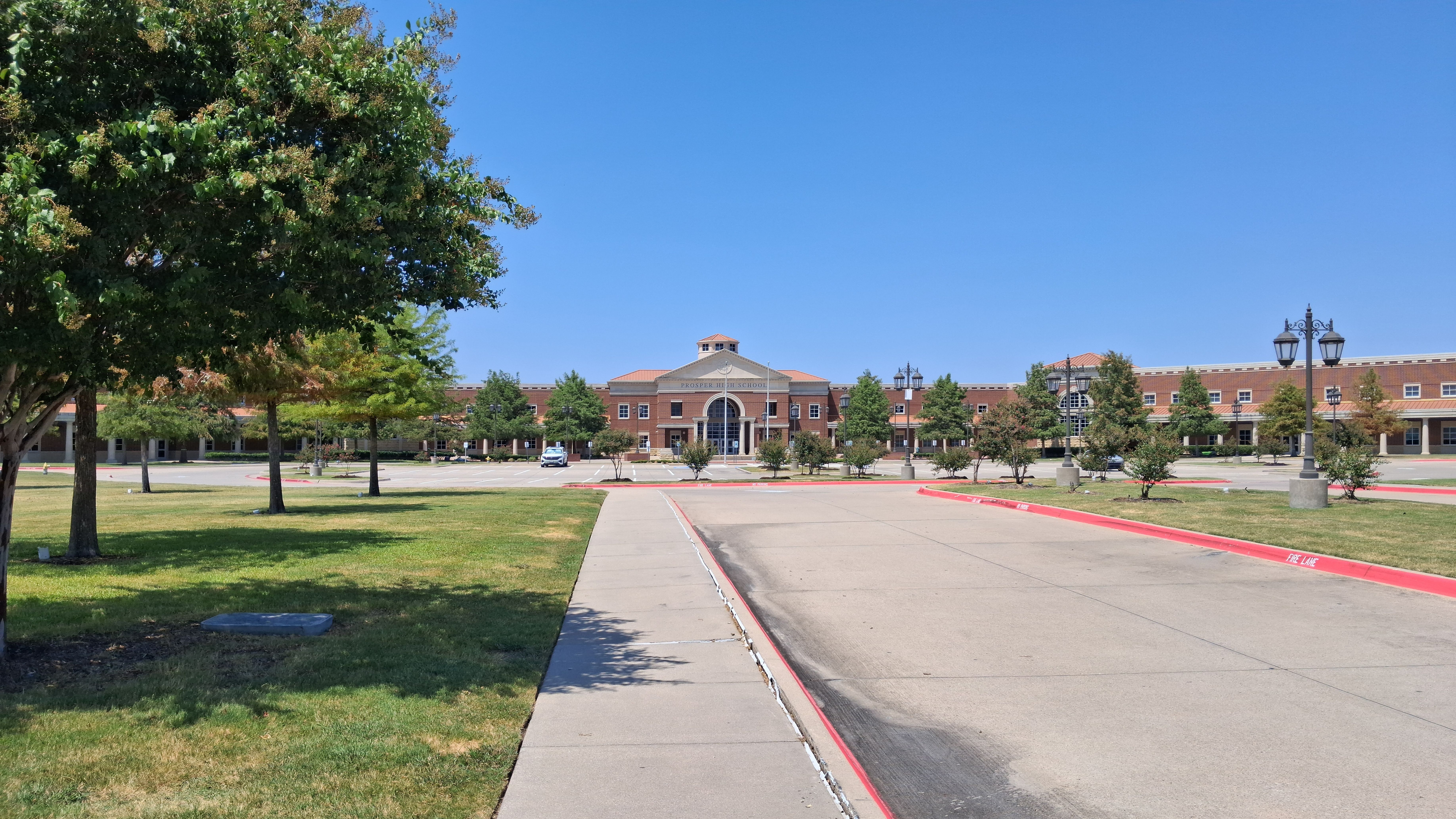
The National Weather Service expects significant flash flooding in the Prosper and Celina area Wednesday night. Widespread rainfall of 2 to 4 inches is likely across Denton and Collin counties, with isolated totals near 7 inches possible.
A flood watch took effect at 4 p.m. Wednesday, Sept. 30, and runs through Friday morning, according to the NWS Fort Worth office. The watch covers counties along and west of Interstate 35, including Denton and Collin, where both cities sit.
The heaviest rain is expected to move in Wednesday night and continue into Thursday, Oct. 1, NBC 5 DFW reported. Thursday's forecast calls for a 100% chance of showers and thunderstorms with a high near 83 degrees. A few severe storms Wednesday evening could also bring hail and damaging winds, according to NWS Fort Worth.
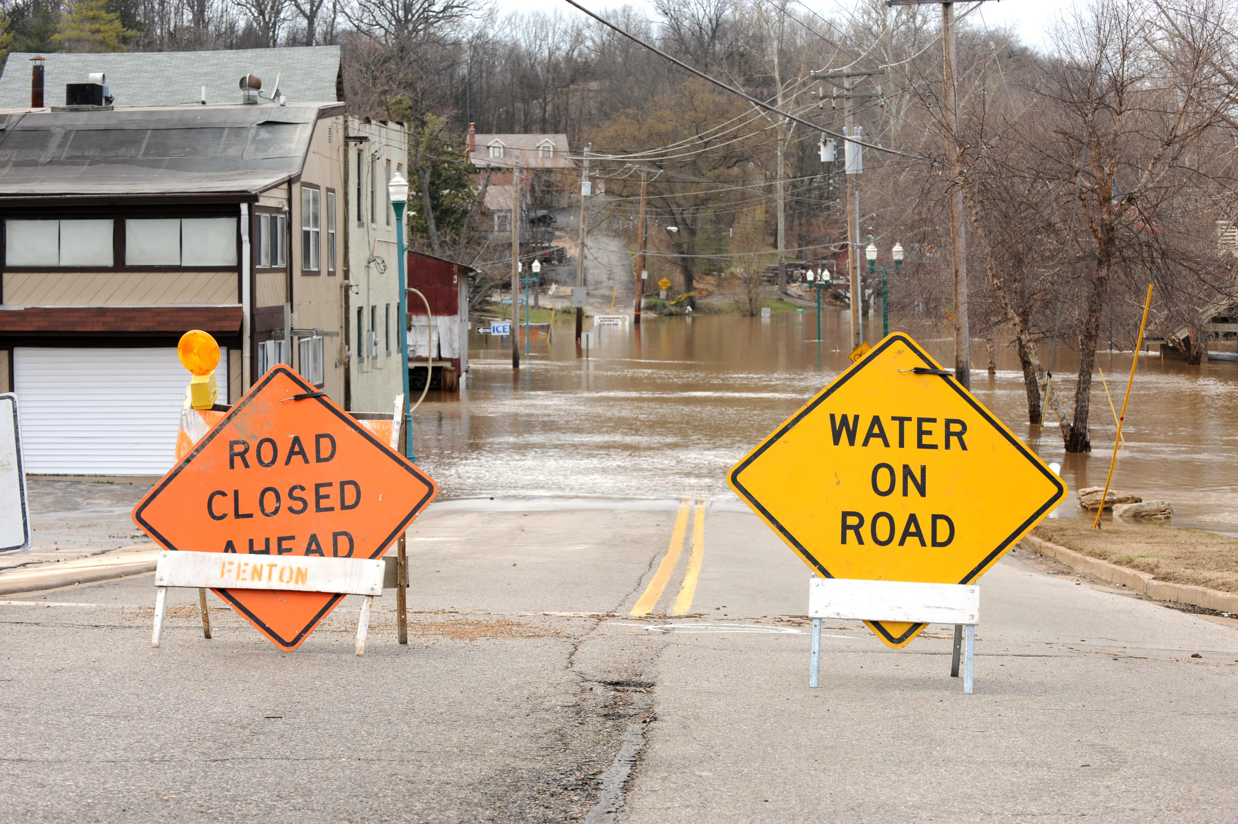
NWS Fort Worth warned that excessive runoff may flood rivers, creeks, streams and low-water crossings. Both cities have seen that threat before. Celina activated flood gates on Parvin Road during a high-water event in April 2025, warning drivers to avoid the area. The Town of Prosper relayed multiple NWS flash flood warnings through its official accounts in May and June.
State deploys 1,900 personnel
Gov. Greg Abbott singled out North-Central Texas during a Monday, Sept. 28, news conference at the State Operations Center in Austin, as first reported by Community Impact.
"Everyone should expect the rivers to rise," Abbott told reporters.
The governor said the storm system moving through Texas on Sept. 30 and Oct. 1 spans the I-35 corridor and will affect "a far more vast portion of the state" than the South-Central Texas flooding in mid-July. That July flooding damaged property, swept cars off roadways and killed two people.
About 1,900 state personnel and more than 1,500 vehicles have been deployed statewide, state leaders said at the Monday news conference. Resources include swiftwater rescue teams, helicopters and Texas National Guard Black Hawk helicopters for water rescues, according to the Dallas Express.
Tropical moisture tied to Hurricane Polo, which made landfall in Baja California, and a cold front are driving the storm system into Texas, the Dallas Morning News reported.
What residents should do
NWS Fort Worth told residents to avoid driving through floodwater and to have multiple ways to receive weather warnings. Brandye Hendrickson, deputy executive director of the Texas Department of Transportation, said at the Monday, Sept. 28, news conference that just six inches of fast-moving water can cause drivers to lose control.
The flood watch may be extended beyond Friday morning if conditions warrant, according to NWS Fort Worth. Residents can check road conditions at DriveTexas.org and find flood safety information at TexasFlood.org.